



Consider a maintenance engineer trying to diagnose a repair that has gone sideways. The problem rarely involves a broken tool or a missing skill. It usually starts with a photo. A technician at a substation sends back images of a failing bushing, the engineer reviewing them cannot tell whether the crack extends behind the flange, a follow-up call produces more photos from nearly the same angle, and by the time anyone understands what is happening on site, the outage window is gone.
The problem? The asset was three-dimensional the entire time, but every piece of information about it was flat.
This is the quiet bottleneck of industrial operations. Infrastructure has grown dramatically more complex, from distributed energy resources on aging grids to production lines that mix robotics with thirty-year-old equipment, while the media through which people share what they see has barely changed. Photos, markups, reports and video calls all demand the same cognitive work from whoever receives them: rebuilding a spatial reality in their head from a flat stand-in and hoping their reconstruction matches everyone else’s.
Where the time actually goes
That hidden reconstruction shows up in the numbers. Industry analysts estimate that hands-on work may account for only 30-40% of total repair time, with the remainder consumed by detection, response, diagnosis, coordination and verification. Each of those categories is fundamentally an act of interpretation. Someone decides what a sensor alarm means, what a set of field photos indicates and whether the after-repair evidence proves the fix held. None of that is turning a wrench, and all of it depends on how faithfully information survives the journey from the field to the people deciding what to do about it.
The journey is where fidelity dies. A camera collapses depth, hides whatever sits behind the nearest surface and gives no reliable sense of scale, so the technician holding it must guess which angles the engineer will need tomorrow. When the guess is wrong, the job does not fail loudly. It fails as a return trip. Industry research consistently links repeat visits to wrong parts on the truck, incomplete job information and skills mismatched to the job. These are failures of understanding that occur before the technician leaves the depot. The industry has long treated the return visit as a schedule problem. It is more accurate to call it the price of communicating three-dimensional problems through two-dimensional channels.
Seeing the same thing: A shared view of reality
The way out is not more resolution or better report templates, because the constraint was never pixel count. It is two technologies that are maturing at the same moment. The first is Spatial AI: emerging algorithms can turn a sufficiently complete walk-around capture from a phone or inspection camera into a three-dimensional representation of an asset or site. Depending on capture quality and calibration, that model can preserve geometry for measurement, comparison with engineering drawings and tracking changes over time. Because capture can be repeated on each visit, a one-time model can evolve into a living record in which corrosion, settlement and wear become measurable changes rather than judgment calls between photos.
The second is the arrival of switchable, immersive displays on everyday devices. A three-dimensional model viewed on a conventional screen remains as a flat projection of a spatial object. The viewer can rotate it, but depth must still be inferred from shading and motion, and inference is precisely the failure mode this effort exists to reduce.
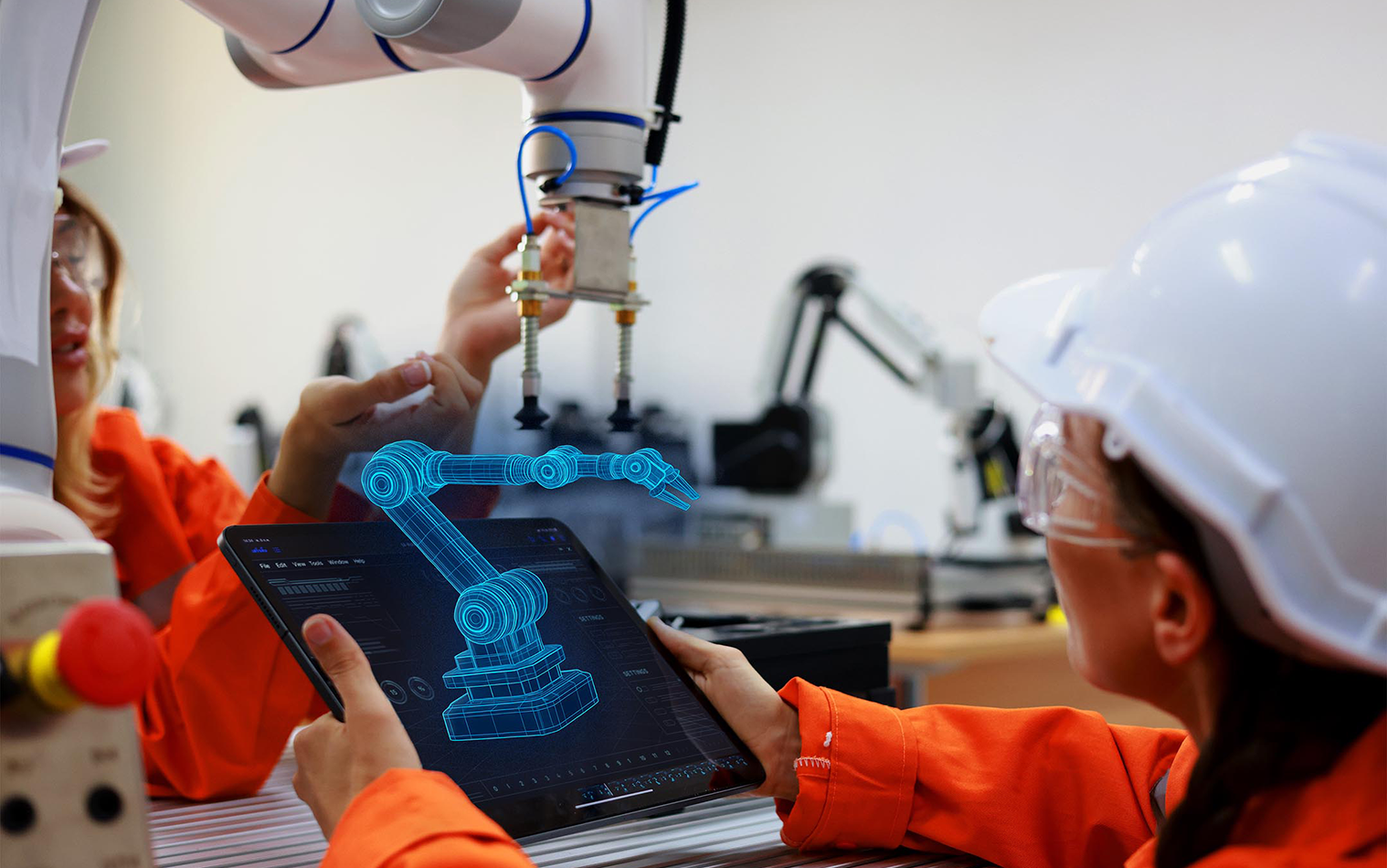
Immersive displays present the reconstruction with genuine depth, engaging the same binocular perception a person uses when standing in front of the equipment. An engineer can judge whether a cable clears a bus bar, or a bracket sits proud of its mount by looking, not merely interpreting. Just as important, this capability can live inside laptops, monitors and tablets that switch between standard operation and immersive viewing as the task demands. Earlier immersive collaboration efforts often required dedicated hardware for every participant, a difficult proposition for a utility with thousands of field staff. When depth arrives on devices teams already own, adoption becomes a software decision rather than a fleet procurement.
Together, the two close the loop that photos never could. Control of perspective moves from the person who captured the scene to the person who needs to understand it: the remote engineer examining that substation looks behind the flange herself, checks the clearance that concerned her and measures it. And the failure modes behind repeat visits get addressed before the truck leaves the depot, because a dispatcher planning against a current spatial model can confirm the parts, access and skills the job requires. Diagnosis stops being an exchange of interpretations and becomes two people examining one reality, resolving disagreement by looking rather than by scheduling another visit.
From better calls to institutional memory
The immediate wins are the obvious ones: fewer truck rolls, faster diagnosis and design reviews where every stakeholder perceives the same model with the same spatial context, regardless of location. The deeper value compounds over time. A veteran technician's walkthrough of a tricky asset, preserved spatially, transfers knowledge to a successor far better than any written procedure. This is an urgent need in an industry where decades of expertise are retiring faster than they can be replaced. Capture by capture, an organization builds a spatial memory of its own infrastructure that connects naturally to the digital twin and asset management investments most operators have already made.
Industrial operations did not reach their current limits through lack of effort or data. They reached them because most conventional tools for sharing what a person sees strip away the dimension that matters most. The organizations that restore it, giving the field and office one spatial reality to reason together, will make faster decisions with fewer misunderstandings and will wonder how they ever ran critical infrastructure on photographs.